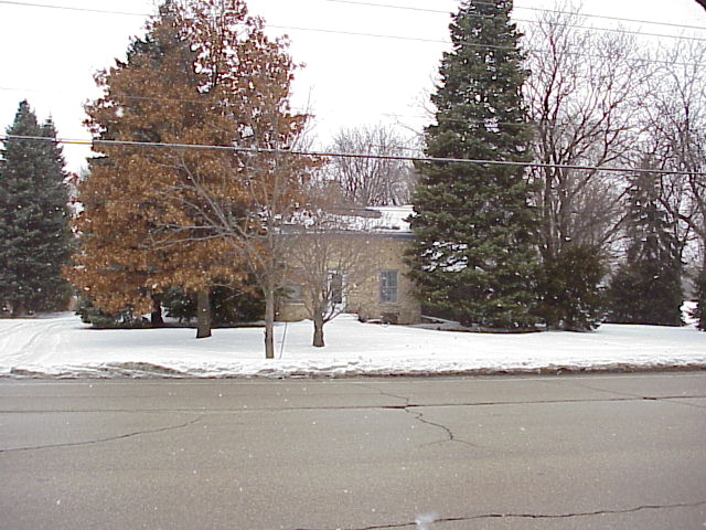
Building date: Demolished
Original use:
Corner structures:
Mortar application and content:
Types and uses of stones:
Types and choice of windows:
Structures with similar masonry details:
Masons who worked on building:
Unique features:
Map views courtesy Google Maps. Google Earth location is approximate; 42°03'25.15"N 88°14'11.67"W.
Town of Hanover and Cook County Maps.
 51155231799_11cf5f709a_o.jpg ¹ | 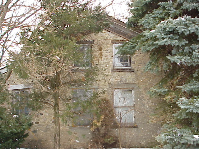 51154447316_89b8fda0ba_o.jpg ¹ | 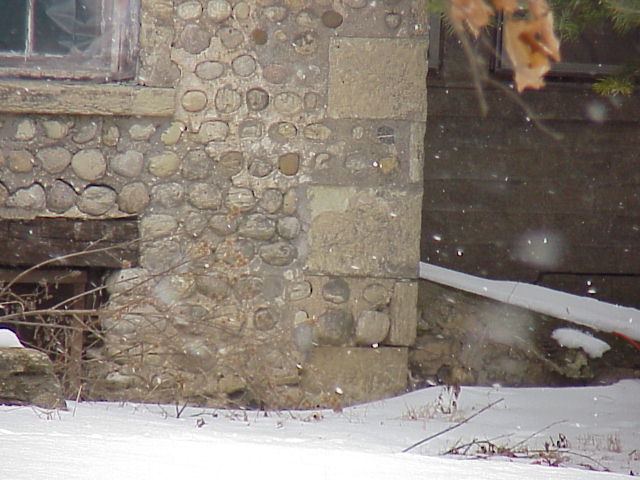 51154447301_a6337b6fd5_o.jpg ¹ | 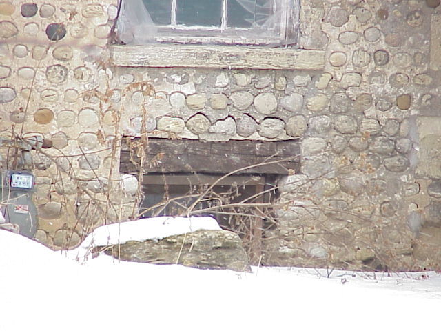 51153775962_5716451d27_o.jpg ¹ |
¹ Photography courtesy Dan Miller.
